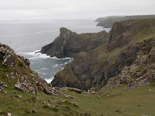
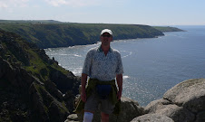
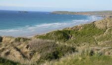
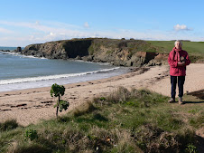
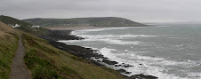
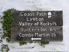
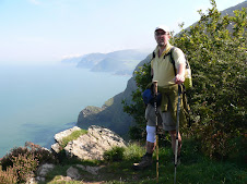
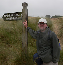
The morning's target was to get to Pentire Point - which is a magnificent viewpoint in both directions.
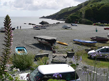
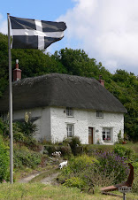
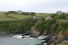
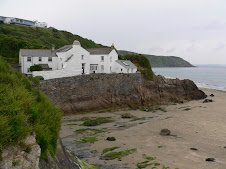
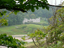
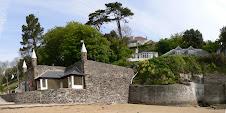
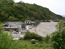
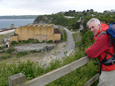
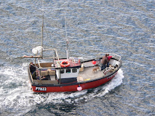
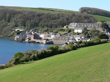
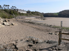
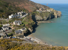
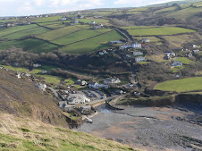
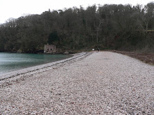
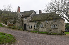
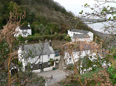
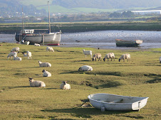
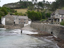
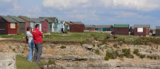
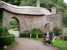
 Before that - there was some quite strenuous walking to be done. There was only one coastal village along the way - Port Quin which was a lovely secluded place offering nothing in the way of refreshment apart from a cold water drinking tap. The village used to be quite a successful fishing village - but alot of the village was abandoned eyars ago - and now there are just a few National Trust cottages and a large stone house wonderfully positioned at the edge of the small beach commanding the best position- probably the harbourmasters house.
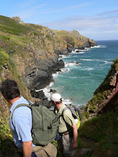
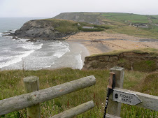
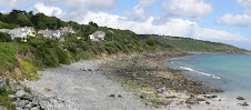
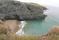
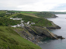
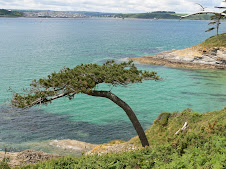
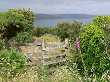
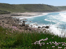
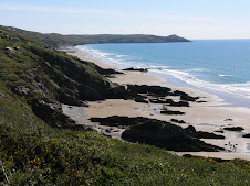
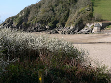
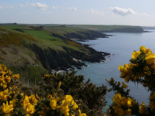
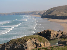
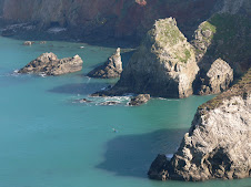
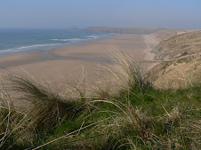
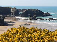
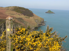
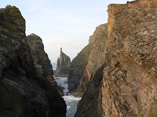
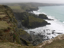
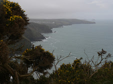
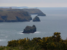
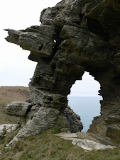
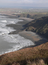
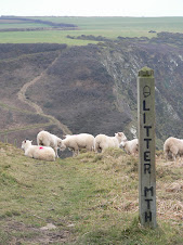
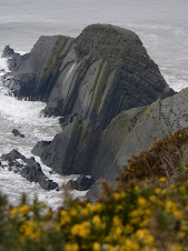
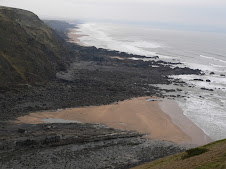
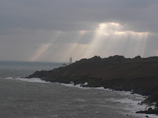
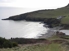
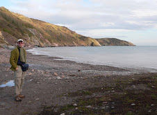
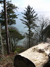
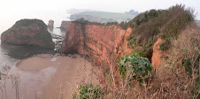
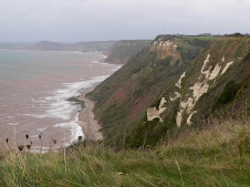
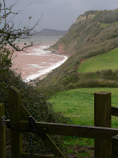
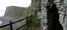
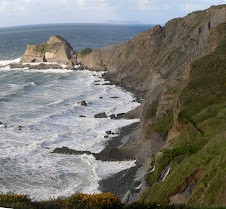
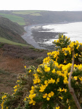
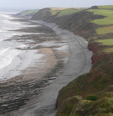
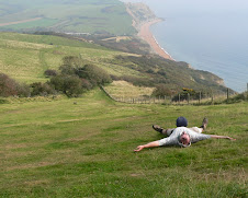
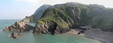
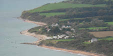
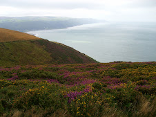
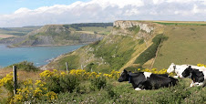
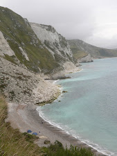
Another point of interest was Lundy's Hole - a natural passageway eroded through the cliff . At various points on the way to Pentire Point and what they call The Rumps - you could get a vantage point looking South West beyond the Camel estuary to Stepper Point which I would reach later in the day. The Rumps was a rocky headland stretching out Northerly and in theory the official path didn't include it - but it looked a dramatic place for a good photo - so I diverted off the path and climbed to the highest point.
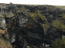
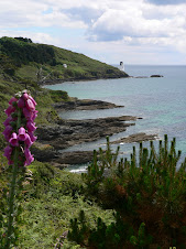
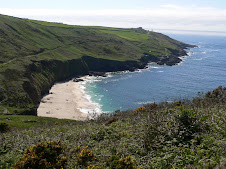
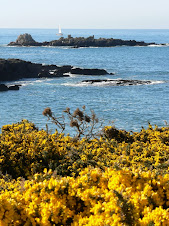
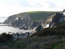
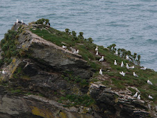
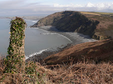
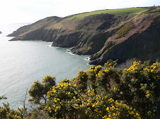
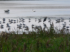
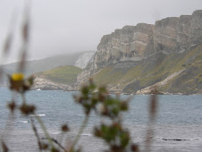
 Just off the point was a large rock known as The Mouls which has been home to Puffins.
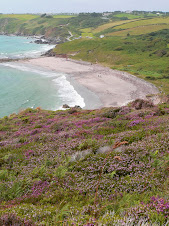
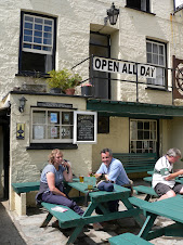
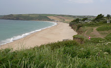
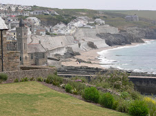
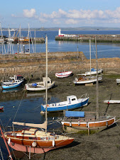
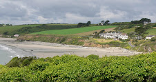
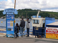
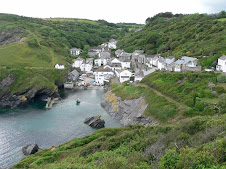
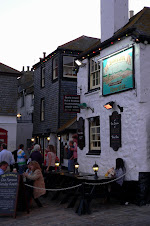
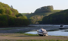
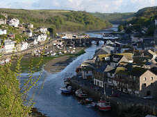
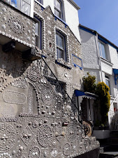
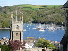
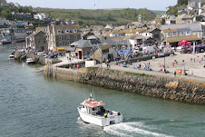
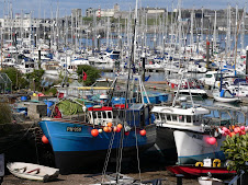
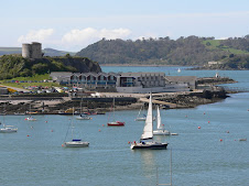
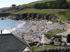
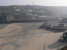
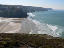
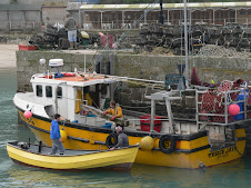
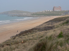
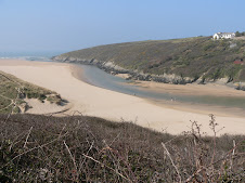
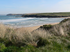
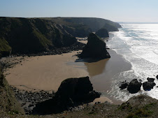
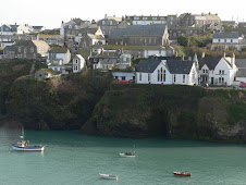
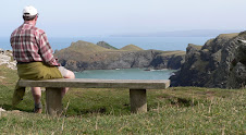
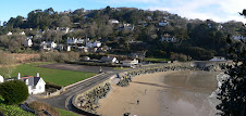
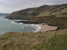
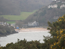
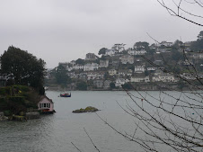
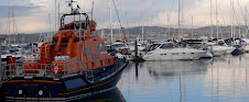
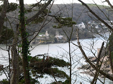
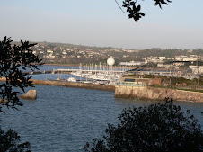
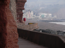
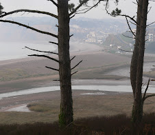
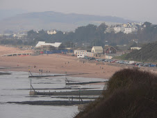
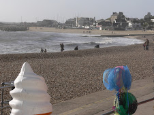
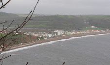
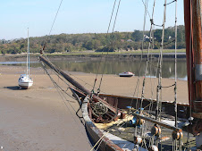
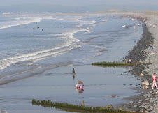
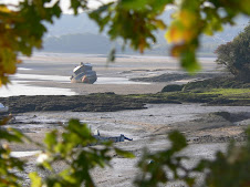
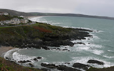
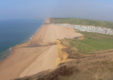
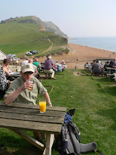
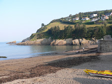
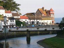
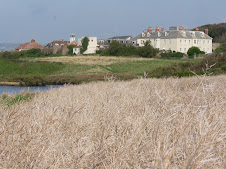
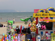
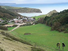
From here it was a short walk round the headland to Pentire Point with some of the most far reaching views so far on this Cornish coast. I could now see Polzeath and a glimpse of Padstow itself. From here - the path was all downhill to Hayle Bay - and the sandy beach of Polzeath - another popular surfing beach. Another short walk across the cliffs brought me to Daymer Bay - and as it was low tide - I was able to take the route along the beach although it meant I missed seeing St Enodoc Church which has quite a bit of history and was apparently once completely engulfed by sand! The beach walk took me all the way to Rock itself , although I didn't see much of it - as I walked straight from the beach onto the Ferry. I was quite foot weary by now - and was looking forward to some refreshments at Padstow - a cream tea had been lingering in my thoughts for a few miles - and I wasn't disappointed. The ferry dropped off further down the estuary as it was high tide - so it was a few hundred yards back to the Harbour where I dived into the nearest Tea Room, which to my astonishment didn't seem to be owned by Rick Stein - and wasn't offering fish flavoured scones!
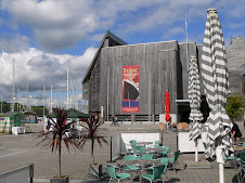
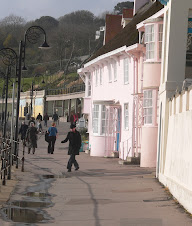
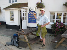
It recharged the batteries, and as it was quite early afternoon - I could easily make another 5-6 miles onto Trevone. I decided to see if the Tourist Office could book me some accommodation at Trevone - and between us, I found somewhere - The Well Parc Inn. I didn't really have time to look round Padstow much - but it is somwehere I've been to before, so didn't bother me.
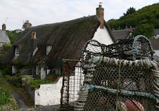
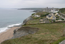
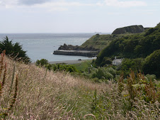
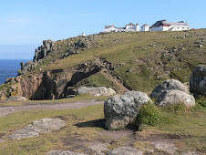
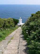
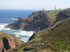
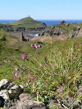
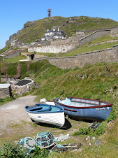
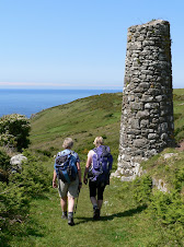
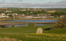
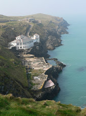
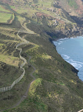
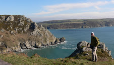
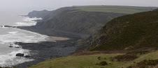
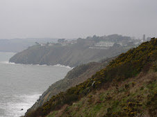
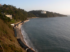
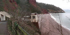
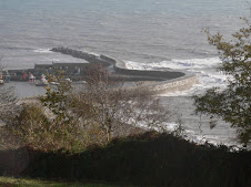
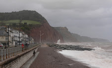
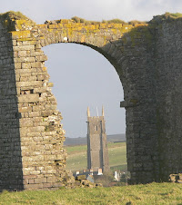
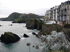
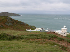
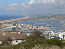
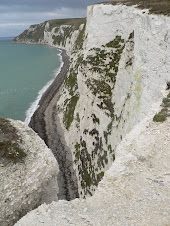
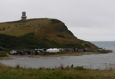
The path left the harbour and headed out to the head of the estuary at Stepper Point which looked straight out to Pentire. It was a nice walk in the afternoon sun taking me past various coastguard cottages and also some old pilot cottages which were lived in by the men who guided vessels in and out of the estuary. The path took an inland diversion around an inlet before heading up to the tall stone Daymark at Stepper Point - which had been in view for many miles previous and was an old shipping positional aid.
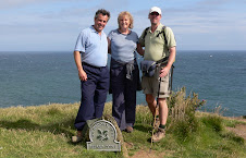
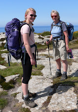
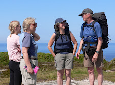
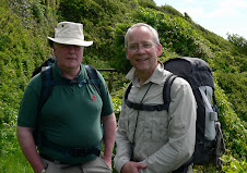
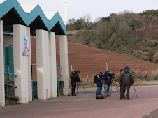
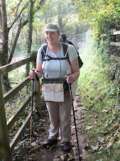
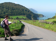
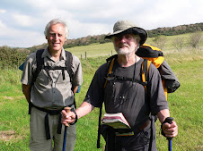
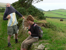
A little further on - I met another hiker coming in the opposite direction - we stopped and had a chat - he had walked from Newquay and was heading for Padstow - that was probably going to be 23 miles - so he was quite knackered - but in fact as I would find out the following day - the path to Newquay was reasonably flat in comparison to some stretches.
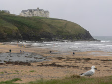
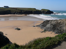
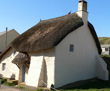
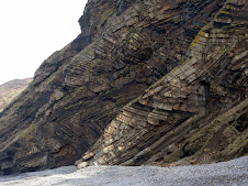
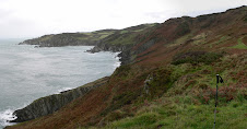
 I headed on to Trevone - the sun was going down quite quickly now and the light was superb for photography - and there were some wonderful rock formations at Gunver Head and Porthmissen. As you reach the head at Trevone Bay - there is a massive hole on the Cliff Top - which is a bizarre sight. Some genius has named this Round Hole - and they are quite common apparently - but this is a particularly large one - they are caused by sea erosion - all to do with soft rock seeping out from underneath a band of hard rock in front of it - eventually - ie a year or million later - you get a large hole which young children can fall into.
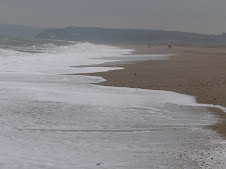
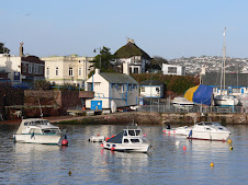
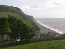
I was glad to reach Trevone and dying to get the boots off - had walked 18 miles or so - the Well Parc was half a mile from the beach - it was the locals pub as well as a hotel - the man sitting at the bar looked familiar - and he recognised me - he had served me my Cream tea at Padstow! The room was very comfortable with great views out to sea - but they'd probably given me the best one - I was the only one there!
After a good soak in the bath -I headed for the empty bar and ordered some food with a little trepidation. After a while a few locals bowled in - it was Whist Drive night - so plenty of excitement - I buried a few pints, stuffed my face with fish and chips and then headed for the pit.


No comments:
Post a Comment