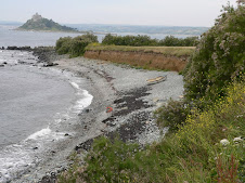
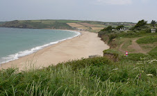
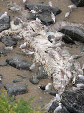
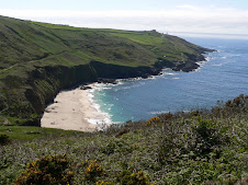
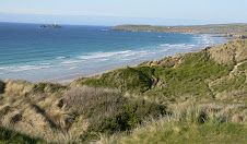
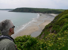
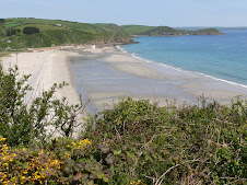
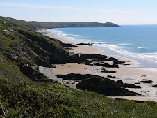
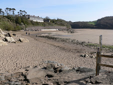
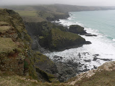
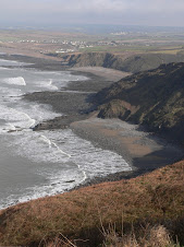
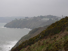
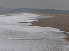
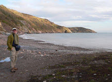
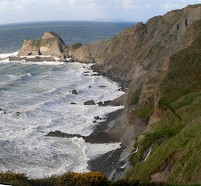
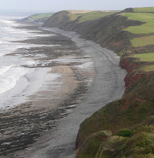
It was another glorious sunny day and I headed along the low cliffs above the long stretch of rocky beach which is known as Wembury marine conservation area. Unfortunately, that wasn't enough to save a Dolphin which had been washed up. I was surprised that it hadn't been removed as it looked as if it had been tagged in the past and normally they do a post mortem to find out what killed it - certainly it had been there awhile. The next wildlife was breathing - a nice friendly Chaffinch!
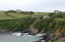
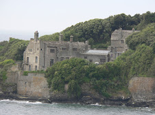
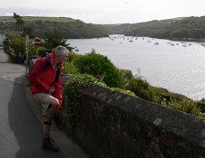
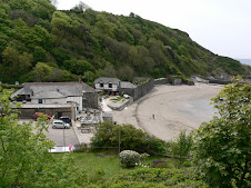
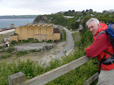
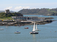
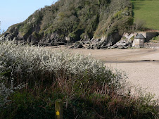
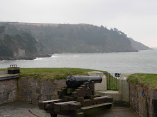
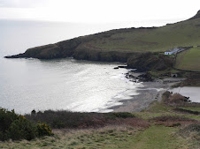
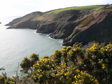
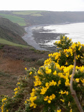
 I headed on, passing an old military building - HMS Cambridge before quickly reaching Heybrook Bay which was surrounded by a modern residential area - almost a suburb of Plymouth. All the time, ahead, you could see right across the Sound to Cawsand Bay in Cornwall with Drakes Island in the foreground. it wasn't until the path passed around the point at Renney's Rocks and headed for the Holiday chalets at Bovisand, that you started to see the Docks of Millbay and Mount Batten Point . At Bovisand, you have the incongruous mix of a Holiday Camp and Fort Bovisand, one of 2 forts built to protect the harbour. It is now used as a Diving training centre. Until recently, the path to Mount Batten had been along busy roads, but the Coast Path Association had worked hard to create the current scenic path through woodlands and thenreached the open grassland area of Jennycliff Bay - which proved to be a good place for a Cappuccino pitstop.
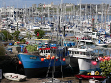
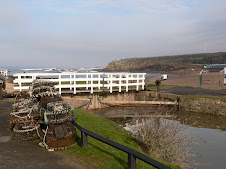
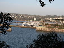
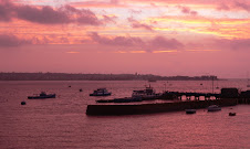
  A little further on you reach the landmark of Mountbatten Point with its jetty jutting out into the Sound. Formerly, a RAF Air Rescue centre, it was out of bounds until the late 1990's. From here, you can catch a Ferry to the Barbican and Sutton Harbour, but no short cuts for me! I could now see Plymouth in all it's glory with the lighthouse in full view on the Hoe. The path headed around the edge of the Sound towards Cattewater and Turnchapel passing alongside the busy new Marina area. From Turnchapel - the rest of the walk becomes very urban walking around the edge of Plymouth all the way to Stonehouse and the Ferry point across to Mount Edcumbe Park at Cremyll. Having said that, apart from the section crossing Laira Bridge and going through the Industrial area of Cattedown, it is a
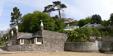
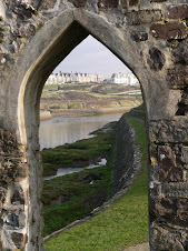
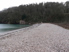
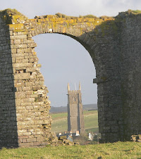
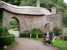
 n enjoyable walk and had has been much improved by Pymouth Council with the introduction of various unusual signs and pieces of art reflecting Plymouth's history along the way. The path from Turnchapel heads around Hooe Lake and past Radford Lake where you walk across a causeway and through the archway of an old lodge.
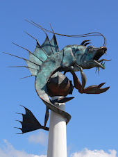
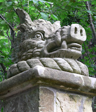
You are then onto one of the main roads into Plymouth, passing the well known landmark of the Oreston Rhino!
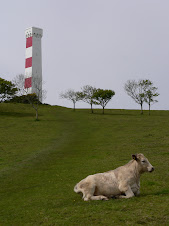
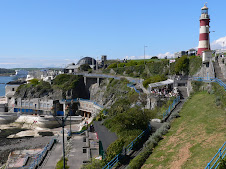
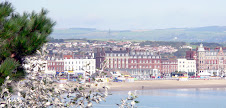
At Cattewater - the path rises through the industrial area and you get a good view across to Mount Batten - albeit a farily Industrial one! Eventually you can see the distinctive shape of the National Maritime Museum ahead of you, and the path literally passes right next to it and suddenly i found myself surrounded by people as the path went across the Sutton Harbour Lock gates to the popular old Bar bican area. Suddenly, I felt a bit like a tourist, - but this was all fairly familiar territory for me as I headed to my left towards the Hoe. There were Ice cream vans bumper to bumper, as well as Francis Drake and his missus, strolling about as if he owned the place! - but then it was Easter weekend, I reminded myself! The path followed the foreshore next to the Royal Citadel and near to the Mayflower Steps. Of course Plymouth has a fantastic amount of history attached to it and as well as the obvious landmarks, there are some clever inscriptions and unusual artefacts, all marking historical events. Before long, I was on the promenade which became the Grand Parade, having passed Smeaton's Tower - the red and white lighthouse, which I had been seeing for several hours previous, in the distance. This had originally been positioned on Eddystone Reef but became unstable so was dismantled and rebuilt on the Hoe, whilst another working lighthouse was erected on Eddystone.
 bican area. Suddenly, I felt a bit like a tourist, - but this was all fairly familiar territory for me as I headed to my left towards the Hoe. There were Ice cream vans bumper to bumper, as well as Francis Drake and his missus, strolling about as if he owned the place! - but then it was Easter weekend, I reminded myself! The path followed the foreshore next to the Royal Citadel and near to the Mayflower Steps. Of course Plymouth has a fantastic amount of history attached to it and as well as the obvious landmarks, there are some clever inscriptions and unusual artefacts, all marking historical events. Before long, I was on the promenade which became the Grand Parade, having passed Smeaton's Tower - the red and white lighthouse, which I had been seeing for several hours previous, in the distance. This had originally been positioned on Eddystone Reef but became unstable so was dismantled and rebuilt on the Hoe, whilst another working lighthouse was erected on Eddystone.
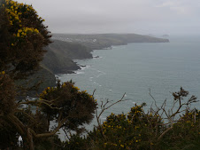
 The view across the Sound spreads in both directions towards South Devon in the East and across to Penlee Point in Cornwall where I would be walking the following day.
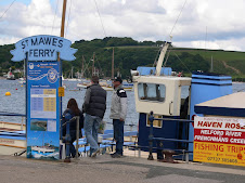
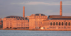
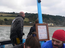
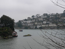
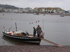
I headed for the Cremyll passenger ferry at Stonehouse via Devils Point and the massive Royal William Yard . I wanted to get across, sign in at the Edgecumbe Arms where I had booked a room for the night - and then get back to Plymouth and catch a bus out to Wembury to collect the car. I was beginning to wish that I had just left the car there all weekend - but my overnight things were in it. The Ferry ran every half hour - there was the unusual sight of a pair of swans nesting just at the top of the road down to the jetty - it was hardly a quiet spot, next to a Taxi rank! From the Ferry, you got a great view of the Royal William Yard part of the Navy victualling Dept which is now being converted into a Commercial and residential centre.
I spent an hour at Mount Edcumbe, sussed out my room at the pub, which was very comfortable and then headed back across. The journey back to Wembury was very frustrating. Missed a bus into Plymouth centre by 10 seconds so legged it only to have to wait best part of an hour for the next bus. It was late Saturday pm - so time to find a pub for the football results - Plymouth isn't your average seaside town. Firstly, I was ordered to remove my baseball cap which was plastered to my head, and then looking around me, apart from the women, I seemed to be the only person who had any hair! - and that's saying something. After a quick snifter, and feeling naked without a single tattoo - I waited at the bus stop and eventually got myself back to Wembury and drove back across via the Torpoint Ferry and then round to Cremyll.
It was Curry night at the Edgecumbe Arms - 6 varieties to choose from in great quantities - most of which seemed to go untouched - however my choice, Thai Green Curry was the most popular - and I got to finish it off with a second helping - so ensuring a jet propelled walk the following day!


























































































































No comments:
Post a Comment